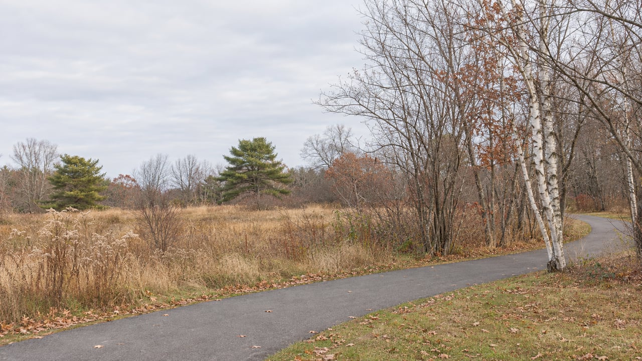
Since August 6, the Greenbelt Walkway has led somewhere new. You can start at Bug Light Park, head west past the Wainwright Athletic Complex and keep going on 16 continuous off-road miles to downtown Saco. That trip used to mean leaving the trail at the Scarborough line and riding on busy roads until the path picked up again.
This winter is the first one with the long route open. The link it still lacks is now in South Portland, on the stretch of Broadway between Evans Street and Route 1, and bids for building it were due to MaineDOT on November 12.
The Scarborough gap closed more than a year early
The project was called Close the Gap, and the gap was 1.6 miles long. The new trail starts at the Wainwright Sports Complex, 125 Gary L. Maietta Way, and runs to Pleasant Hill Road. From there it crosses the railroad tracks and the Nonesuch River to join the older Eastern Trail in Scarborough. WGME reported the same endpoints when it covered the opening.
The original schedule makes the August opening stand out. When Shaw Brothers started work in June 2025, the Town of Scarborough's project page split the job into two phases. The second phase was harder because it needed two new bridges and coordination with CSX and CMP, since the trail crosses the railroad and follows the power lines.
| Milestone | Original estimate | What happened |
|---|---|---|
| Construction begins | June 2025 | Underway June 2025 |
| Bridge over the Nonesuch River | Part of Phase II | Installed December 2025 |
| Bridge over the railroad tracks | Part of Phase II | Installed April 2026 |
| Phase I: Pleasant Hill Road to Wainwright | October 2026 | Open August 6, 2026 |
| Phase II: Nonesuch River to Pleasant Hill Road | October 2027 | Open August 6, 2026 |
The whole link cost $7.5 million. The money came from the Town of Scarborough, the City of South Portland, MaineDOT, the Federal Highway Administration and Eastern Trail Alliance donors. The Eastern Trail Alliance lists Town & Country Federal Credit Union, WEX, IDEXX and the Avangrid Foundation among its lead supporters.
Wainwright is now the middle of a route
The City describes the Greenbelt as a 5.6-mile off-road path. It runs from the Wainwright Athletic complex near the Scarborough line to Bug Light Park, where Liberty Ships were built during World War II. Until this summer, Wainwright was where the off-road Greenbelt ended. It is now one access point in the middle of a single line. The Eastern Trail Alliance says that line passes through Scarborough Marsh and is open to walkers, cyclists and runners.
The Greenbelt was always meant to be the start of something longer. The City's Greenbelt page calls it the eastern terminus of the Eastern Trail, a 65-mile greenway in development between Kittery and South Portland. It is also the designated East Coast Greenway route, which is planned to run 3,000 miles from Key West, Florida, to Calais, Maine. For years that framing was mostly on paper. The first off-road miles past the city line ended at the Nonesuch River.
Ron Chase described that dead end in a column for the Portland Press Herald on November 4. He has biked the Eastern Trail for about 20 years. He wrote that on rides north from the Black Point Road trailhead in Scarborough, "the ride culminated in disappointment when the trail ended at the remains of an old railroad bridge over the Nonesuch River." A new bridge now crosses at that spot. It was installed over the Nonesuch River last December.
Using the full route in its first winter
The trail now runs past the Scarborough line, but in winter the conditions are the same as on the rest of the Eastern Trail. The Eastern Trail Alliance's FAQ and rules page cover the basics:
- Hours: The trail is open year-round and is typically used from sunrise to sunset. In late November the sun sets well before most people finish work.
- Snow: The Eastern Trail is generally not plowed. Utility partners sometimes clear short sections to reach their equipment, but that clearing is not guaranteed and is not maintained for public use.
- Closures: Parts of the trail can close temporarily for maintenance. Closures are posted on the Trail Conditions page.
- Bikes and e-bikes: Class 1 and Class 2 e-bikes are allowed. The cycling speed limit is 15 mph, and bicyclists yield to everyone else on the trail.
- Dogs: Pets must stay leashed at all times, and owners must carry the waste out rather than leaving bags at the trailhead.
On the South Portland side, the City lists three main ways onto the Greenbelt. Wainwright Athletic Fields is at the end of Gary Maietta Drive off Highland Avenue and has a parking lot. Bug Light Park is reached by following Broadway to its end, then Breakwater Drive and Madison Street. Mill Creek Park, at Broadway and Ocean Street just east of the Casco Bay Bridge, has on-street parking around it. The Eastern Trail Alliance keeps a parking page for trailheads farther south. Mill Creek Park also has an event on the City calendar. The Tree Lighting there is set for Friday, December 4, from 4:30 to 6:30 p.m.
The link still missing is on Broadway
The closest gap in the network is inside South Portland, where the Greenbelt meets Broadway at Evans Street. MaineDOT project WIN 018638.00 is a multi-use path from that point along Lincoln Street and Broadway to the Route 1/Billy Vachon Drive intersection. The project was advertised October 14, and bids were due November 12. Two bid amendments were posted November 3.
This stretch of Broadway explains why the short path matters. In 2018 the Portland Press Herald called the 1,000-foot, four-lane section between Evans and Lincoln streets the worst part of the city's busiest street. Citing MaineDOT, it reported about 24,240 vehicles a day there at the time. The new path runs through that corridor on its own surface, separate from the traffic lanes.
The final plans, dated October 5, 2026, show a 10-foot multi-use path along Billy Vachon Drive and Lincoln Street, with the path continuing along Broadway. Forest City Cemetery is labeled beside the Broadway section. The paved sections call for 2 inches of hot-mix asphalt over 12 inches of gravel subbase. The schedule of items also includes curb-ramp warning panels, flaggers and traffic officers. The contract's traffic rules for Broadway require two-way traffic at all times. They allow one lane to close at a time, only between 7 p.m. and 6 a.m., for no more than 1,500 feet.
The cost has grown over the years of planning. South Portland's FY2020 capital improvement plan, adopted in June 2019, listed the "Vachon, Lincoln, Broadway Multi-use Path" at $1,024,650. That figure included $250,000 from TIF reserves and $23,240 from General Fund reserves. MaineDOT's 2026–2028 work plan for South Portland lists the same path as a PACTS-sponsored project with estimated funding of $2.75 million. That is more than two and a half times the 2019 figure, for a connection shorter than the 1.6-mile Scarborough link.
The contract allows for a long build. All non-warranty work must be finished by June 30, 2028. If the work takes the full window, the Greenbelt will go through two winters as a 16-mile route to Saco before it has an off-road connection to Route 1 at Billy Vachon Drive.
If you've been walking from Wainwright toward the marsh this fall, or planning a weekend ride from Bug Light to Saco, I'm always glad to compare notes. These routes are a big part of what makes daily life here feel connected. If you're thinking about a home near a Greenbelt access point, or you'd like to know how projects like the Broadway path will change your corner of the city, Mary Libby would be happy to talk it through. Schedule a free consultation, and we'll start with the streets you already walk.